Charentsavan

The city is located on the bank of the Hrazdan River(Kotayk Region), around 30 km north of Yerevan. It was founded in 1948 as Lusavan. On September 23, 1967, on the occasion of the 70th anniversary of Yeghishe Charents, the town was renamed Charentsavan.
Sights of Charentsavan
The town was founded for the employees of the nearby hydroelectric power plant․ With the completion of the power plant in 1953, the town turned into one of the vital industrial centers of the Armenian SSR. It is roughly divided into 4 residential districts as well as a large industrial zone.
The industrial district occupies around 70% of the entire area of Charentsavan. A large public park is situated between the industrial zone and the residential area. The only church in the town is Surb Amenaprkich (Holy Savior) church which is situated near the park.
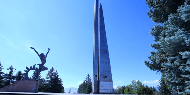
A statue of the "curly boy", a character from the poetry of Charents, stands at the town gate and greets the visitors of the town. The statue of the poet himself was erected in front of the palace of culture in 2013. There is also a memorial hall of Yeghishe Charents in the town.
Charentsavan is located at a height of about 1700 meters above sea level. The climate is characterized by cold and severe winters and mild summers. In winters, the temperature can reach down to -25 °C.
The town has a public library, an art school named after Jean Carzou and a palace of culture. There are lots of cafés and restaurants as well, where you can taste traditional Armenian dishes.