Mount Mets Parakhadem is one of the prominent high peaks of the Urts Mountain Range in southern Ararat Province. Rising to approximately 1,955 meters above sea level, it forms part of a mountain system stretching between the Shagap and Aratso rivers, tributaries of the Vedi and Araks river systems. The Urts Mountains extend roughly from northwest to southeast and create a distinctive mountainous landscape in the southern part of the Ararat region.
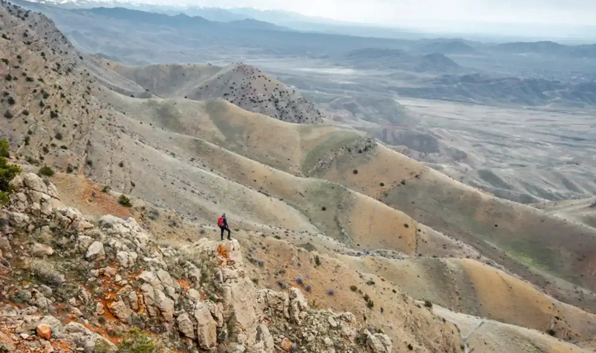
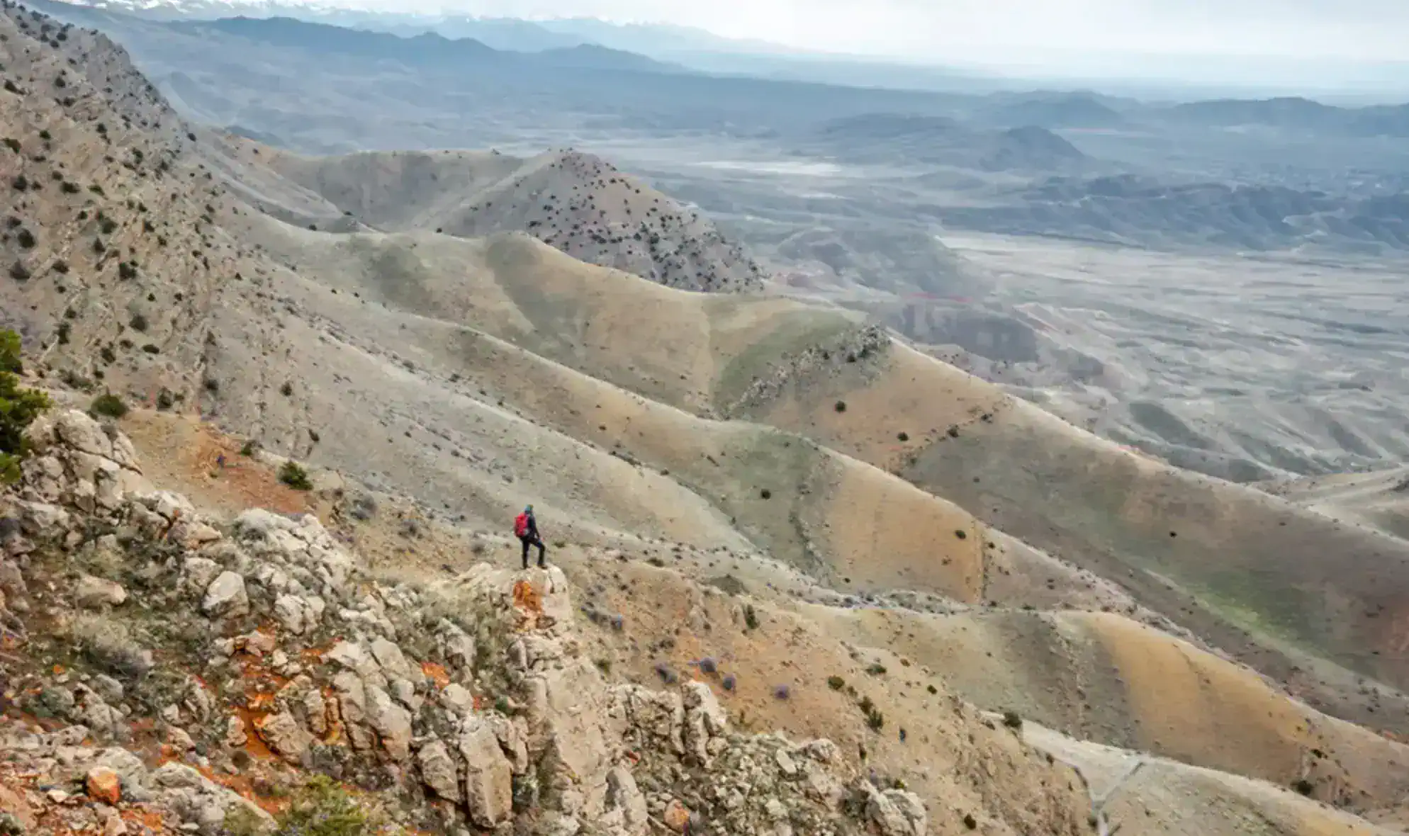
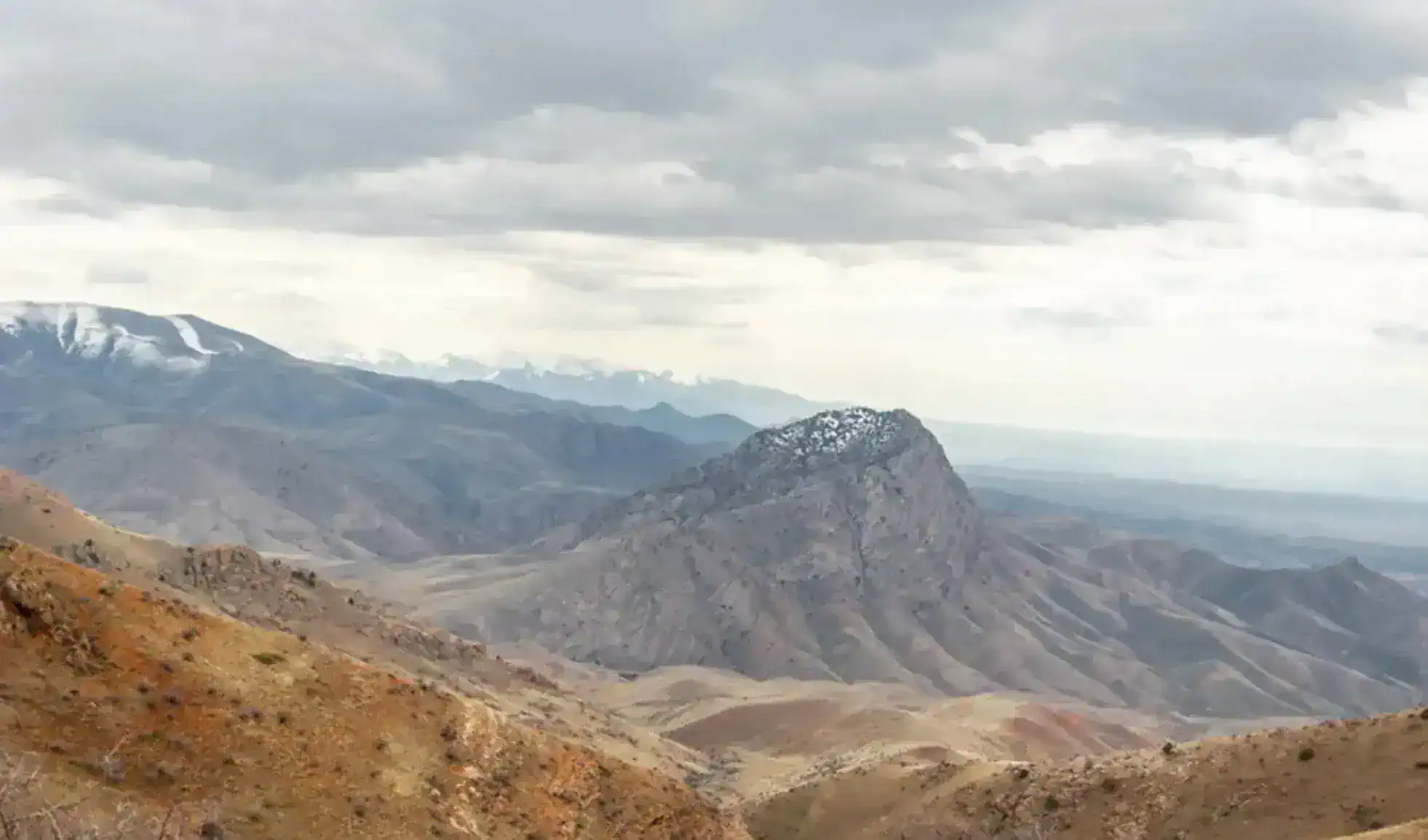
The mountain is particularly notable for the contrast between its lower and upper landscapes. The foothills of the Urts range are characterized by semi-desert vegetation, while the higher elevations transition into mountain-steppe environments. The slopes of the range are also markedly asymmetric: the northern slopes tend to be longer and gentler, whereas the southern side is shorter, steeper and deeply cut by ravines, including channels shaped by seasonal flooding.
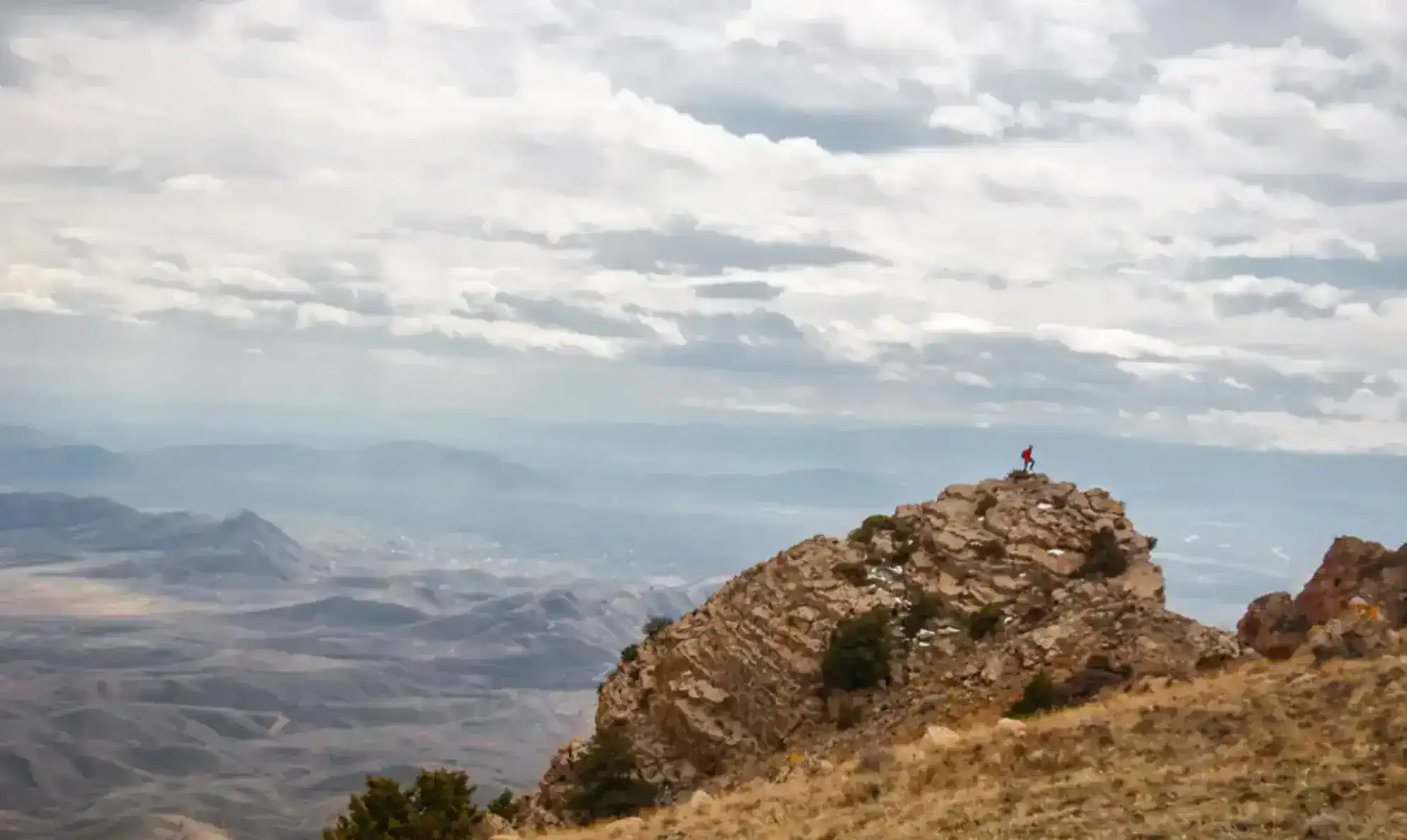
Mets Parakhadem is especially valued for its panoramic views. From the summit, visitors can see Mount Ararat, including both Greater and Lesser Ararat, as well as the surrounding Urts Mountains. On clear days, the landscape opens toward the Ararat Plain and other distant areas of the region. This exceptional view of Ararat has become one of the main attractions of the mountain and a major reason for its growing popularity among hikers.
The usual hiking approach begins near the village of Tigranashen. From there, the route follows the slopes of the Urts Mountains before reaching the rocky summit of Mets Parakhadem. Organized hiking routes vary depending on the exact starting point, but one documented route is approximately 14 km long with around 650 meters of elevation gain and is considered moderately difficult. Other recorded routes range between roughly 8 and 15 km.
The mountain can also be reached together with nearby peaks, particularly Karmir Kar. Several hiking routes connect Mets Parakhadem with Karmir Kar and continue toward the surrounding landscapes. Karmir Kar is slightly lower, with elevations reported at around 1,948–1,949 meters.
The terrain around Mets Parakhadem has a distinctly rugged character. The upper part of the mountain includes rocky sections, while lower slopes are covered by vegetation adapted to the relatively dry climate of the region. One documented hiking route specifically notes the presence of wild almond bushes along the trail, adding to the botanical character of the landscape.
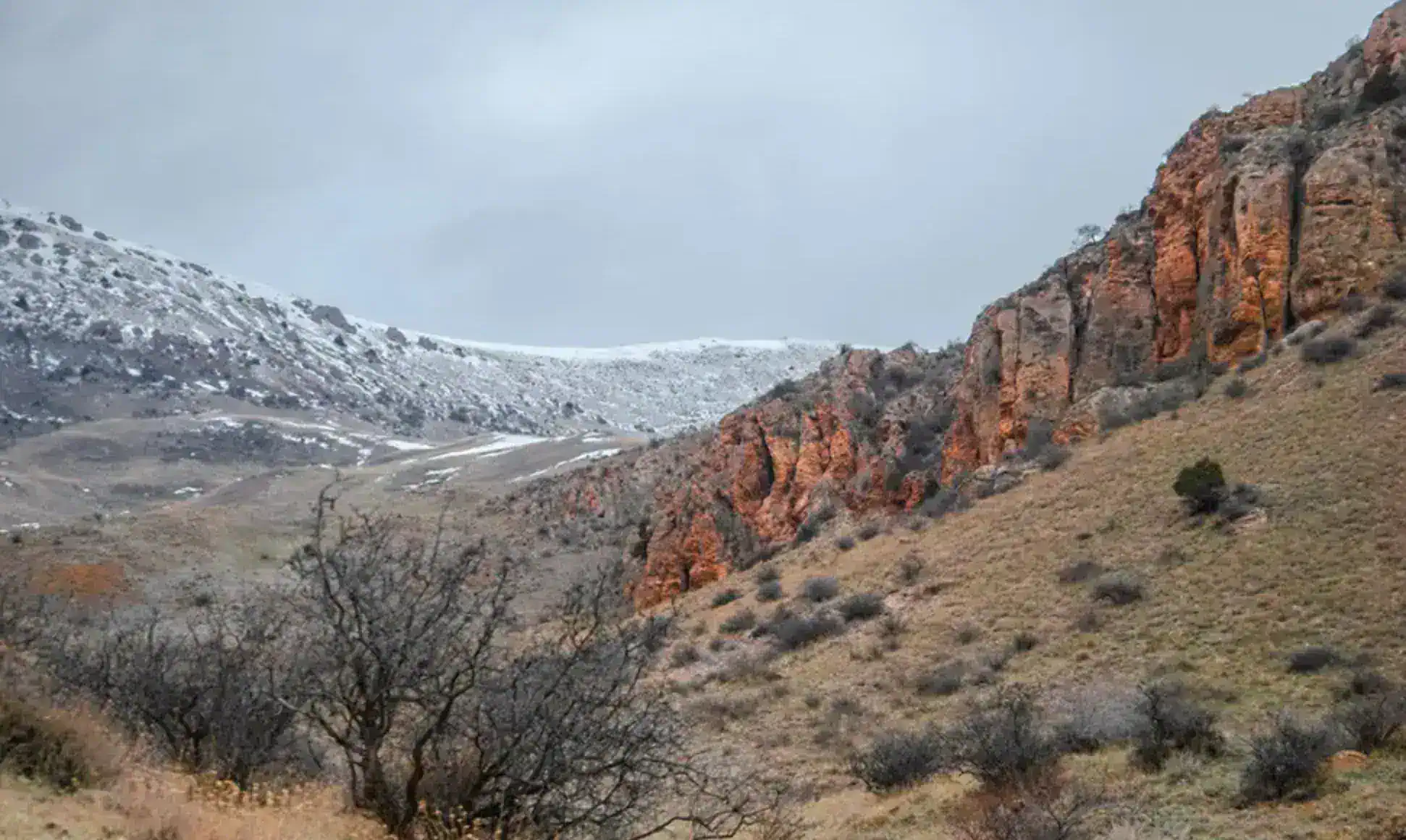
Mets Parakhadem is also interesting because of the strong seasonal changes in its appearance. During the warmer months, the lower parts of the range can have a dry, semi-desert character, while the higher slopes retain a more steppe-like appearance. In winter and snowy conditions, the ascent becomes more demanding, with hikers reporting more difficult terrain compared with dry-weather conditions.
Despite its relatively accessible location, Mets Parakhadem provides a remarkably remote mountain experience. The combination of rocky ridges, dry southern landscapes and unobstructed views toward Ararat makes it one of the more distinctive hiking destinations in the Urts Mountains.
For visitors interested in experiencing the mountain, the cooler months are generally more comfortable for hiking. Spring can be particularly attractive as the landscape becomes greener before the intense summer heat dries out the lower slopes. Clear-weather hikes also offer the best opportunity to see Mount Ararat from the summit.
Mets Parakhadem is therefore more than simply a high point in the Urts Mountains. It brings together the geological and landscape character of southern Armenia with one of the country's most recognizable views—the silhouette of Mount Ararat rising above the Ararat Plain.